MS Book and Mineral Company
Geological Society of America Publications
Newer GSA Special Papers - Scroll down
For older GSA Catalogs - click on these links:
GSA Memoirs
GSA Field Guides and Reviews of Engineering Geology
Our regular stock of older GSA Publications
GSA DNAG (Decade of North American Geology) Publications
Home Page
Contact information
Fossil Specimens
Mineral Specimens
Place an Order
Sale
Mining History Illustrations
When you purchase items (books, maps, fossils, minerals) on this website, these discounts are now in effect:
If your order totals $50, take 10% off the total + shipping
If your order totals $100, take 15% off the total + shipping
If your order totals $200, take 20% off the total + shipping
If your order totals $300, take 25% off the total, + FREE SHIPPING
Description:
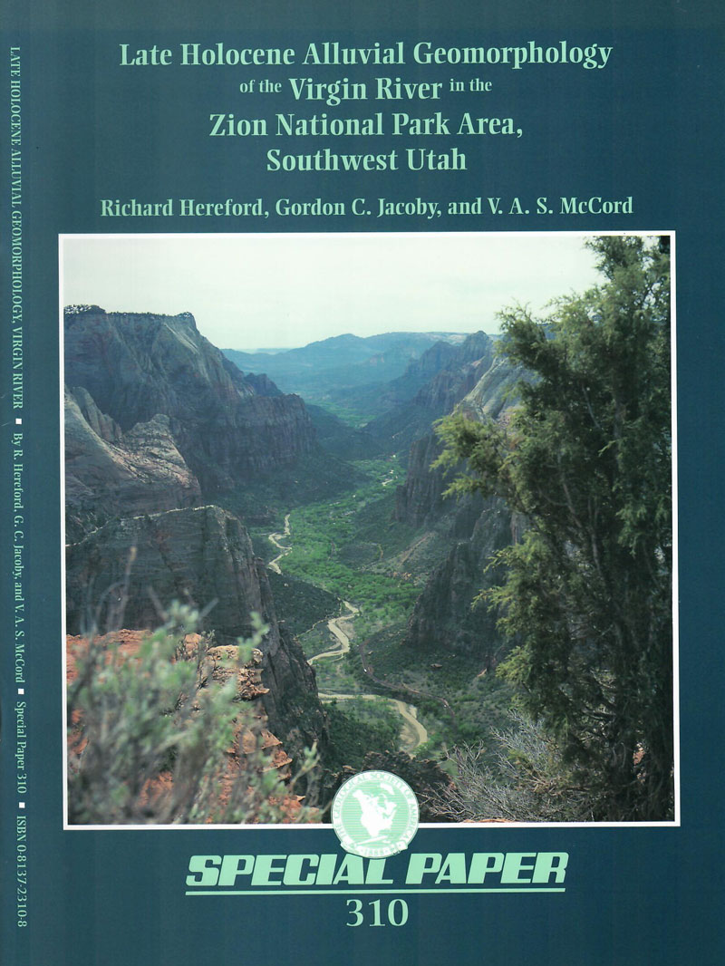
Hereford, R., et.al. / LATE HOLOCENE ALLUVIAL GEOMORPHOLOGY OF THE VIRGIN RIVER IN THE ZION NATIONAL PARK AREA, SOUTHWEST UTAH, GSA SP 310, Boulder, 1996, pb, 41 pages, - 1 -, $ 10
The Virgin River, in the spectacular canyons of Zion National Park near the southwest margin of the Colorado Plateau, is well suited for geomorphic research; it has a relatively wide alluvial valley and is free flowing, retaining the presettlement discharge regime. The research described in Special Paper 310 focused on how variations of water and sediment load modify valley morphology. A specific goal was understanding the timing and causes of arroyo cutting—the catastrophic, widespread degradation of stream channels in the southwest United States beginning in the late 1800s. Large-scale surficial geologic maps portray the terraces and alluvial deposits. Dated by archaeologic context and by tree-ring methods, these deposits correlate in time with dated late Holocene alluvium of other streams on the southern Colorado Plateau. Relocated historic photographs show the channel before, during, and after arroyo cutting. Dendrohydrologic reconstruction of streamflow demonstrates that arroyo cutting occurred during unusually wet climate with large floods and was preceded by an interval of very dry climate.
Contents:
Introduction
Geologic Setting of the Alluvial Valleys
Late Holocene Surficial Geology and Geomorphology
Floods and Historic Changes in the Channel of the Virgin River
Historic Photographs of the Virgin River
Streamflow History and Geomorphic Change of the Virgin River
Summary and Conclusions
SP 390 - Stone Decay in the Architectural Environment
Description:
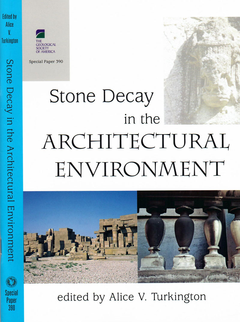
Turkington, A. V., Ed. / STONE DECAY IN THE ARCHITECTURAL ENVIRONMENT, GSA SP 390, Boulder, 2005, pb, 61 pages, - 1 -, $ 10
Some structures are constantly under threat from natural and human-induced decay processes, yet stone buildings, structures, and works of art remain a permanent feature in our cultural heritage. This volume presents recent research by an international group of geologists and geomorphologists on stone decay in the architectural environment, and it updates the latest theoretical and methodological advances in this field. The volume will be informative to earth scientists concerned with rock weathering in natural and urban locales, and it will be of benefit to those conservators, practitioners, scientists, and students whose interest lies at the interface between research and its application.
Contents:
1. Urban stone decay: The great weathering experiment?
2. Can stone decay be chaotic?
3. Weathering of serpentine stone buildings in the Philadelphia, Pennsylvania, region: A geographic approach related to acidic deposition
4. Surface-recession weathering of marble tombstones: New field data and constraints
5. Petra revisited: An examination of sandstone weathering research in Petra, Jordan
6. Characterization of swelling in clay-bearing stone

SP 421 - Advances in High-Pressure Mineralogy
Description:
Ohtani, E., Ed. / ADVANCES IN HIGH-PRESSURE MINERALOGY, GSA 421, Boulder, 2007, pb, 237 pages, - 1 -, $ 10
Composed of three parts, this book summarizes recent progress in high-pressure mineral physics. It is ideal for geoscience readers interested in new views of Earth’s processes and for those who want to introduce new experimental and theoretical techniques to their studies. Part 1 investigates the phase transformations of minerals in static and shocked conditions, which provide a basis for understanding Earth’s dynamic processes. Part 2 reveals the role of volatiles in the mantle. Volatiles are one of the most important agents for producing chemical differentiation of the mantle, and they play an important role in the generation of various magmas. As a result, people from areas such as petrology, volcanology, and tectonics will find this section particularly useful. Part 3 describes theoretical and experimental techniques in high-pressure mineral physics. Several techniques for in situ X-ray observations provide important applications for the analysis of geological samples.
Contents:
Part 1. Phase Transitions of Earth and Planetary Materials at High Pressure
1. Phase transitions of minerals in the transition zone and upper part of the lower mantle
2. Properties of lower mantle Al-(Mg,Fe)SiO3 perovskite
3. Discovery of post-perovskite phase transition and implications for the nature of the D" layer of the mantle
4. High-pressure phase transformations in the system FeO-MgO
5. High-pressure mineral assemblages in shocked meteorites and shocked terrestrial rocks: Mechanisms of phase transformations and constraints to pressure and temperature histories
Part 2. Role of Volatiles in the Earth
6. High-pressure mineralogy of diamond genesis
7. Melting of ice VII and new high-pressure, high-temperature amorphous ice
8. Effect of water on the phase relations in Earth’s mantle and deep water cycle
Part 3. New Techniques in Mineral Physics
9. Geophysical applications of nuclear resonant spectroscopy
10. Single-crystal structure and electron-density analyses of Earth’s interior under high-pressure and high-temperature conditions using synchrotron radiation
11. Phase-relation studies of mantle minerals by in situ X-ray diffraction using multianvil apparatus
12. Multianvil techniques in conjunction with synchrotron radiation at Deutsches ElektronenSYnchrotron (DESY) – HAmburger SYnchrotron LABor (HASYLAB)
13. X-ray microtomography under high pressure

SP 430 - Plates, Plumes, and Planetary Processes
Description:
Foulger, G. R. and Jurdy, D. M., Ed. / PLATES, PLUMES, AND PLANETARY PROCESSES, GSA SP 430, Boulder, 2007, pb, 974 pages, - 1 -, $ 30
This beautiful compendium of work documents the state-of-play of the current fundamental debate on whether or not mantle plumes exist and the origin of “hot spot” volcanism on the surface of Earth, Mars, and Venus. The book is fully interdisciplinary and encompasses all branches of earth science, including geophysics, geochemistry, heat, temperature, tectonics, petrology, mantle dynamics, impacts, and syntheses reconciling several branches of earth science. Included are chapters that advocate the plume model as well as ones that advocate alternative models. Most chapters are designed to be accessible to students and scientists in different subdisciplines within the earth sciences, making them doubly valuable to specialists and nonspecialists alike. The book is designed to enjoy a long lifetime of usefulness, functioning as both a landmark document for the subject today and a valuable reference work for students, scholars, and informed lay people for the future. It will be equally valuable for supporting advanced undergraduate or postgraduate courses and research scientists working at the forefront of “hot spot” science, and is an essential addition to the bookshelves of every science library, earth science teacher, and research scientist who aspires to push back the frontiers of this exciting subject. With over 180 color plates, it will be a beautiful addition to the library of anyone fascinated by volcanoes—one of nature’s most exciting and extraordinary phenomena.
Contents:
Plates and Plumes
1. The “plate” model for the genesis of melting anomalies
2. Origins of the plume hypothesis and some of its implications
3. The eclogite engine: Chemical geodynamics as a Galileo thermometer
4. Plate velocities in the hotspot reference frame
Mantle Convection and Seismology
5. Implications of lower-mantle structural heterogeneity for the existence and nature of whole-mantle plumes
6. The structure of thermal plumes and geophysical observations
7. Seismic observations of transition-zone discontinuities beneath hotspot locations
8. Lower-mantle material properties and convection models of multiscale plumes
9. Global plume-fed asthenosphere flow—I: Motivation and model development
10. Global plume-fed asthenosphere flow—II: Application to the geochemical segmentation of mid-ocean ridges
11. The Hawaiian Swell pilot experiment—Evidence for lithosphere rejuvenation from ocean bottom surface wave data
Heat and Temperature
12. Crystallization temperatures of tholeiite parental liquids: Implications for the existence of thermally driven mantle plumes
13. Potential effects of hydrothermal circulation and magmatism on heatflow at hotspot swells
14. Crustal geotherm in southern Deccan basalt province, India: The Moho is as cold as adjoining cratons
Geochronology, Hotspot Fixity, and Reference Frames
15. A quantitative tool for detecting alteration in undisturbed rocks and minerals—I:Water, chemical weathering, and atmospheric argon
16. A quantitative tool for detecting alteration in undisturbed rocks and minerals—II: Application to argon ages related to hotspots
17. Divergence between paleomagnetic and hotspot-model–predicted polar wander for the Pacific plate with implications for hotspot fixity
18. Global kinematics in deep versus shallow hotspot reference frames
19. Ridge-crossing seamount chains: A nonthermal approach
Oceanic Melting Anomalies
20. The OIB paradox
21. ΔNb and the role of magma mixing at the East Pacific Rise and Iceland
22. Speculations on Cretaceous tectonic history of the northwest Pacific and a tectonic origin for the Hawaii hotspot
23. A plate model for Jurassic to Recent intraplate volcanism in the Pacific Ocean basin
24. Propagation of the Hawaiian-Emperor volcano chain by Pacific plate cooling stress
25. Geophysical characterization of mantle melting anomalies: A crustal view
26. The North Atlantic Igneous Province: A review of models for its formation
27. Origin of the Bermuda volcanoes and the Bermuda Rise: History, observations, models, and puzzles
Continental Melting Anomalies
28. Lithospheric control of Gondwana breakup: Implications of a trans-Gondwana icosahedral fracture system
29. The origin of post-Paleozoic magmatism in eastern Paraguay
30. The origin of the Columbia River flood basalt province: Plume versus nonplume models
31. Evaluation of different models for the origin of the Siberian Traps
32. Eastern Anatolia: A hotspot in a collision zone without a mantle plume
33. Phantom plumes in Europe and the circum-Mediterranean region
34. Mechanisms of crustal growth in large igneous provinces: The north Atlantic province as a case study
35. K-T magmatism and basin tectonism in western Rajasthan, India, results from extensional tectonics and not from Réunion plume activity
36. Plume-related regional prevolcanic uplift in the Deccan Traps: Absence of evidence, evidence of absence
37. Nd and Sr isotope systematics and geochemistry of a plume-related Early Cretaceous alkaline-mafic-ultramafic igneous complex from Jasra, Shillong plateau, northeastern India
38. A bimodal large igneous province and the plume debate: The Paleoproterozoic Dongargarh Group, central India
39. Thick, high-velocity crust in the Emeishan large igneous province, southwestern China: Evidence for crustal growth by magmatic underplating or intraplating
Planetary Evolution
40. The coronae of Venus: Impact, plume, or other origin?
41. An alternative Venus
42. Interaction between local magma ocean evolution and mantle dynamics on Mars
Education
43. The mantle plume debate in undergraduate geoscience education: Overview, history, and recommendations
Platonics and Plumacy
44. Graphic solutions to problems of plumacy
45. Plumacy reprise

SP 439 - Late Cenozoic Drainage History of the Southwestern Great Basin and Lower Colorado River Region: Geologic and Biotic Perspectives
Description:
Reheis, M. C., Hershler, R. and Miller, D. M. / LATE CENOZOIC DRAINAGE HISTORY OF THE SOUTHWESTERN GREAT BASIN AND LOWER COLORADO RIVER REGION: GEOLOGIC AND BIOTIC PERSPECTIVES, GSA 439, Boulder, 2008. pb, 432 pages, - 1 -, $ 10
The late Cenozoic history of surface waters in the arid deserts of the southwestern Great Basin and lower Colorado River region has fascinated scientists for more than two centuries. A wide diversity of closed basins with ancient lake beds and partially integrated drainage systems tantalizes scientists with the potential for studies of fundamental geologic and biologic processes, including landscape evolution, climate history, and tectonics; the distribution of regional aquatic biota; and the history of isolation and speciation. Early models of regional drainage history have been revised during the past decade, along with biogeographic inquiries of diverse aquatic organisms. The papers in this volume summarize and integrate geologic and biotic perspectives to provide a current synthesis of the aquatic history of this fascinating western North American region, and to develop broader perspectives on the types of research addressing issues of regional drainage history.
Contents:
DEATH VALLEYAND TRIBUTARY DRAINAGE SYSTEMS
1. Reconstructing late Pliocene to middle Pleistocene Death Valley lakes and river systems as a test of pupfish (Cyprinodontidae) dispersal hypotheses
2. The western North American pupfish clade (Cyprinodontidae: Cyprinodon): Mitochondrial DNA divergence and drainage history
3. Multistage late Cenozoic evolution of the Amargosa River drainage, southwestern Nevada and eastern California
4. Ancient vicariance and recent dispersal of springsnails (Hydrobiidae: Pyrgulopsis) in the Death Valley system, California-Nevada
5. Genetic zoogeography of the Hyalella azteca species complex in the Great Basin: Rapid rates of molecular diversification in desert springs
Jonathan D.S. Witt, Doug L. Threloff, and Paul D.N. Hebert 103
6. Geological and hydrological history of the paleo–Owens River drainage since the late Miocene
7. Late Pleistocene lakes and wetlands, Panamint Valley, Inyo County, California
8. Late Quaternary, MIS 6–8 shoreline features of pluvial Owens Lake, Owens Valley, eastern California
9. Late Pleistocene shorelines of Owens Lake, California, and their hydroclimatic and tectonic implications
10. Lake Manix shorelines and Afton Canyon terraces: Implications for incision of Afton Canyon
11. Lake Thompson, Mojave Desert, California: The late Pleistocene lake system and its Holocene desiccation
COLORADO RIVER DRAINAGE BASIN
12. Middle to late Cenozoic geology, hydrography, and fish evolution in the American Southwest
13. Correlating hydrographic events and divergence times of speckled dace (Rhinichthys: Teleostei: Cyprinidae) in the Colorado River drainage
14. Pre–Colorado River drainage in western Grand Canyon: Potential influence on Miocene stratigraphy in Grand Wash Trough
15. Stratigraphic evidence for the role of lake spillover in the inception of the lower Colorado River in southern Nevada and western Arizona
16. Late Neogene marine incursions and the ancestral Gulf of California
17. An evaluation of the evolution of the latest Miocene to earliest Pliocene Bouse lake system in the lower Colorado River valley, southwestern USA
18. Age, distribution, and formation of late Cenozoic paleovalleys of the lower Colorado River and their relation to river aggradation and degradation
19. Late Pleistocene aggradation and degradation of the lower Colorado River: Perspectives from the Cottonwood area and other reconnaissance below Boulder Canyon

SP 442 - The Terrane Puzzle: New Perspectives on Paleontology and Stratigraphy from the North American Cordillera
Description:
Blodgett, R. B. and George D. Stanley, G. D., Jr., Ed. / THE TERRANE PUZZLE: NEW PERSPECTIVES ON PALEONTOLOGY AND STRATIGRAPHY FROM THE NORTH AMERICAN CORDILLERA, Boulder, 2008, pb, 326 pages, - 1 -, $ 10
Displaced or tectonostratigraphic terranes comprise a huge portion of real estate in the North American Cordillera. Terranes are discrete, fault-bound blocks of regional extent, with rocks and fossils that differ to a great extent from those of adjacent blocks. The allochthonous nature of most terranes, relative to adjacent craton, is well established. When mapped, they resemble a collage of mixed rock types, tectonic styles, metamorphism, and volcanic origins—each part resembling the pieces of a puzzle. Terrane studies remain integral to understanding the geological evolution of western North America. Since the initiation of the concept summarized in 1979 by the late David L. Jones, the significance of fossils and stratigraphy has been key to solving the puzzle. Chapters of this book written by experts in their field, provide a sense of the diversity of approaches in paleontology and stratigraphy. Contributions span geologic time from the Precambrian (Vendian) to Cretaceous and address over 20 Cordilleran terranes.
Contents:
1. Paleogeographic significance of Ediacaran cyclomedusoids within the Antelope Mountain Quartzite, Yreka terrane, eastern Klamath Mountains, California
2. Silurian-bearing terranes of Alaska
3. Silurian Gastropoda from the Alexander terrane, southeast Alaska
4. Provenance, depositional setting, and tectonic implications of Silurian polymictic conglomerates in Alaska’s Alexander terrane
5. Devonian brachiopods of southwesternmost Laurentia: Biogeographic affinities and tectonic significance
6. Devonian brachiopods from northeastern Washington: Evidence for a non-allochthonous terrane and Late Devonian biogeographic update
7. Paleobiogeographic affinities of Emsian (late Early Devonian) gastropods from Farewell terrane (west-central Alaska)
8. Significance of detrital zircons in Upper Devonian ocean-basin strata of the Sonora allochthon and Lower Permian synorogenic strata of the Mina México foredeep, central Sonora, México
9. The flora, fauna, and sediments of the Mount Dall Conglomerate (Farewell terrane, Alaska, USA)
10. Late Triassic silicified shallow-water corals and other marine fossils from Wrangellia and the Alexander terrane, Alaska, and Vancouver Island, British Columbia
11. Conodont biostratigraphy and facies correlations in a Late Triassic island arc, Keku Strait, southeast Alaska
12. Stratigraphy of the Triassic Martin Bridge Formation, Wallowa terrane: Stratigraphy and depositional setting
13. Late Triassic (Carnian-Norian) mixed carbonate-volcaniclastic facies of the Olds Ferry terrane, eastern Oregon and western Idaho
14. Early Jurassic bivalves of the Antimonio terrane (Sonora, NW México): Taxonomy, biogeography, and paleogeographic implications
15. Dinosaurs of Alaska: Implications for the Cretaceous origin of Beringia

SP 448 - The Permian Extinction and the Tethys: An Exercise in Global Geology
Description:
Sengör, A.M. Celâl and Atayman, Saniye S. / THE PERMIAN EXTINCTION AND THE TETHYS: AN EXERCISE IN GLOBAL GEOLOGY, GSA SP 448, Boulder, 2009, 86 pages, - 1 -, $ 10
Understanding the cause of the extinction that wiped out some 95% of the living species at the end of the Paleozoic era has been one of the greatest problems in the earth and life sciences. All explanations so far proposed have been based on global causes. What has so far been overlooked, however, is that when the extinction occurred all landmasses had been together in one giant continent, Pangea, which completely enclosed an inner ocean, the Paleo-Tethys. This internal ocean included the richest niches in the late Permian world and the extinctions occurred within and around it, giving the decimation the aspect of a universal extinction. What little data we have from the rest of the world indicate that the same extinction did not happen there, except where it was polluted by Paleo-Tethyan spills. This book documents this history and shows that the Permian extinction was an expected result of the peculiarity of the global geography then.
Contents:
1. Abstract
2. Introduction
3. Tethys and the Tethyan Realm
4. The Tethyan Terminology
5. The Tectonics of Pangea and the Paleo-Tethys During the Late Permian
6. Anoxia and its Products
7. Some Permian Sections in and Around the Paleo-Tethys
8. Rocks of the Paleo-Tethys
9. Trench Fills and Abyssal (?) Deposits
10. Continental Margin Deposits
11. Rifts of the Future Neo-Tethys
12. Paleo-Tethys–Panthalassa Transition Region
13. Panthalassan Sections
14. Areas Directly Polluted by the Paleo-Tethys
15. Areas Indirectly Polluted by the Paleo-Tethys
16. Areas That May or May Not Have Been Indirectly Polluted by the Paleo-Tethys
17. Areas Not at All Polluted by the Paleo-Tethys
18. History of Global Redox Conditions in the Late Permian
19. Paleo-Tethyan Anoxia and the “End-Permian” Extinction
20. The Problem of Extinctions
21. The “End-Permian” Extinction
22. Who Died?
23. What Were the Characteristics of Those Who Survived?
24. The Mechanism of Killing
25. Conclusions
26. References Cited
27. Index

SP 450 / Paleoenviroments of Bear Lake, Utah and Idaho, and its Catchment
Description:
Rosebaum, J. G. and Kaufman, D. S., Ed. / PALEOENVIROMENTS OF BEAR LAKE, UTAH AND IDAHO, AND ITS CATCHMENT, GSA SP 450, Boulder, 2009, pb, 351 pages, - 1 -, $ 10
Bear Lake is located 100 km northeast of Salt Lake City and lies along the course of the Bear River, the largest river in the Great Basin. The lake, which is one of the oldest extant lakes in North America, occupies a tectonically active half-graben and contains hundreds of meters of Quaternary sediment. This volume is the culmination of more than a decade of coordinated investigations aimed at a holistic understanding of this long-lived alkaline lake in the semiarid western United States. Its 14 chapters, with 20 contributing authors, contain geological, mineralogical, geochemical, paleontological, and limnological studies extending from the drainage basin to the depocenter. The studies span both modern and paleoenvironments, including a 120-m-long sediment core that captures a continuous record of the last two glacial-interglacial cycles.
Contents:
Climatic and limnologic setting of Bear Lake, Utah and Idaho
Geology and geomorphology of Bear Lake Valley and upper Bear River, Utah and Idaho
Late Quaternary sedimentary features of Bear Lake, Utah and Idaho
Isotope and major-ion chemistry of groundwater in Bear Lake Valley, Utah and Idaho, with emphasis on the Bear River Range
Radiocarbon ages and age models for the past 30,000 years in Bear Lake, Utah and Idaho
Allogenic sedimentary components of Bear Lake, Utah and Idaho
Endogenic carbonate sedimentation in Bear Lake, Utah and Idaho, over the last two glacial-interglacial cycles
Ostracode endemism in Bear Lake, Utah and Idaho
A 19,000-year vegetation and climate record for Bear Lake, Utah and Idaho
A 19,000-year record of hydrologic and climatic change inferred from diatoms from Bear Lake, Utah and Idaho
The glacial/deglacial history of sedimentation in Bear Lake, Utah and Idaho
Sedimentary constraints on late Quaternary lake-level fluctuations at Bear Lake, Utah and Idaho
Paleomagnetism and environmental magnetism of GLAD800 sediment cores from Bear Lake, Utah and Idaho
A quarter-million years of paleoenvironmental change at Bear Lake, Utah and Idaho
SP 473 - Geology and Geoarchaeology of the Black Sea Region: Beyond the Flood Hypothesis
Description:
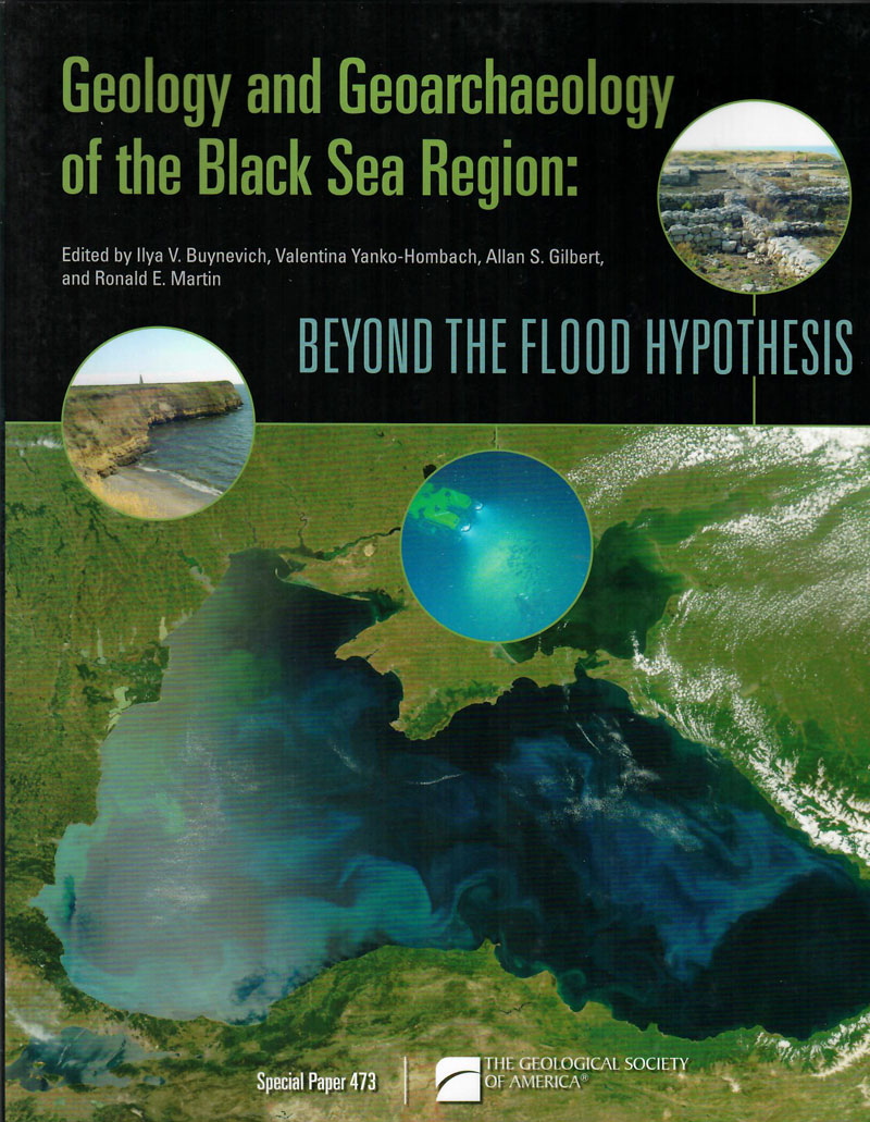
Buynevich, I. V., et.al., Ed. / GEOLOGY AND GEOARCHAEOLOGY OF THE BLACK SEA REGION: BEYOND THE FLOOD HYPOTHESIS, GSA SP 473, Boulder, 2011, pb, 196 pages, - 1 -, $ 10
Contributors from twelve countries wrote the twelve chapters in this Special Paper, and they address a range of topics, including climatic and hydrologic modeling, paleogeographic reconstruction of Late Quaternary landscapes, palynology and paleoclimate reconstruction, and geoarchaeological studies, both onshore and offshore. The volume serves as a timely reference for continuing research in a region harboring a number of newly independent states that are now faced with population pressure and a variety of environmental issues.
Contents:
1. Surface runoff to the Black Sea from the East European Plain during Last Glaciation Maximum–Late Glacial time
2. Modeling extreme Black Sea and Caspian Sea levels of the past 21,000 years with general circulation models
3. Assessment of the Black Sea water-level fluctuations since the Last Glacial Maximum
4. Rapid Holocene sea-level and climate change in the Black Sea: An evaluation of the Balabanov sea-level curve
5. Global climate change and sea-level fluctuations in the Black and Caspian Seas over the past 200 years
6. Paleogeography of the Pontic Lowland and northwestern Black Sea shelf for the past 25 k.y.
7. Nonpollen palynomorphs: Indicators of salinity and environmental change in the Caspian–Black Sea–Mediterranean corridor
8. Climatic and environmental oscillations in southeastern Ukraine from 30 to 10 ka, inferred from pollen and lithopedology
9. Late Pleistocene and Holocene paleoenvironments of Crimea: Pollen, soils, geomorphology, and geoarchaeology
10. Bedforms, coastal-trapped waves, and scour process observations from the continental shelf of the northern Black Sea
11. Archaeological oceanography and environmental characterization of shipwrecks in the Black Sea
12. Pontic-Baltic pathways for invasive aquatic species: Geoarchaeological implications
SP 478 - Volcanism and Evolution of African Lithosphere
Description:
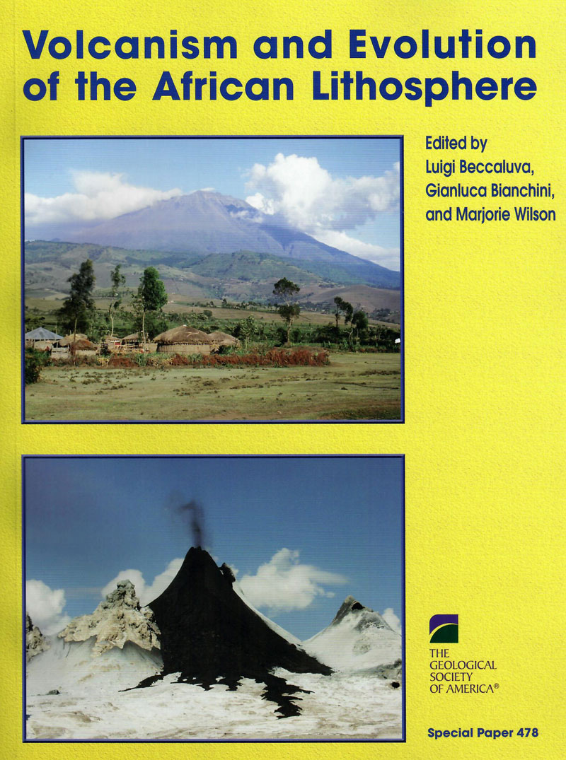
Beccalura, L., et.al., Ed. / VOLCANISM AND EVOLUTION OF THE AFRICAN LITHOSPHERE, GSA SP 478, Boulder, 2011, pb, 331 pages, - 1 -, $ 10
The distribution of volcanism in the African plate is the surface expression of a variety of processes, many of which are poorly understood, involving interaction between the lithosphere and the underlying convective mantle. Despite the maturity of the plate tectonic paradigm, our knowledge of the processes involved in the breakup of continents and the formation of new ocean basins remains limited. The African Rift system provides a unique natural laboratory to study the transition from continental breakup to seafloor spreading. Thus, it is important to explore the similarities among the volcanic provinces of the Saharan zone, Cameroon volcanic line, Angola and Namibia, and the East African Rift system. The aim of this volume is to bring together recent and updated contributions on African volcanism (and associated mantle xenoliths), providing multidisciplinary contexts that include volcanology, geochemistry, petrology, geophysics, and structural geology, for a better understanding of the geological evolution of the African lithosphere.
Contents:
1. Late Mesozoic to Quaternary intraplate magmatism and its relation to the Neoproterozoic lithosphere in NE Africa—New data from lower-crustal and mantle xenoliths from the Bayuda volcanic field, Sudan
2. Holocene opening directions along the axes of the Red Sea (Afar) and Main Ethiopian Rifts: An overview
3. The upper-mantle low-velocity anomaly beneath Ethiopia, Kenya, and Tanzania: Constraints on the origin of the African superswell in eastern Africa and plate versus plume models of mantle dynamics
4. The Ethiopia Afar Geoscientific Lithospheric Experiment (EAGLE): Probing the transition from continental rifting to incipient seafloor spreading
5. Peridotite xenoliths from Ethiopia: Inferences about mantle processes from plume to rift settings
6. Evolution of the lithospheric mantle beneath the East African Rift in Tanzania and its potential signatures in rift magmas
7. Petrology and geochemistry of alkaline lava series, Kilimanjaro, Tanzania: New constraints on petrogenetic processes
8. Trace-element distribution between coexisting aqueous fumarole condensates and natrocarbonatite lavas at Oldoinyo Lengai volcano, Tanzania
9. Cameroon Line alkaline magmatism (central Africa): A reappraisal
10. Mineralogical and geochemical fingerprints of mantle metasomatism beneath Nyos volcano (Cameroon volcanic line)
11. Dolomitic volcanism in Zambia: Cr and K signatures and comparisons with other dolomitic melts from the mantle
12. Post-Paleozoic magmatism in Angola and Namibia: A review
13. Is the African cratonic lithosphere wet or dry?
14. New 40Ar-39Ar ages and petrogenesis of the Massif d'Ambre volcano, northern Madagascar
15. Metasomatism versus host magma infiltration: A case study of Sal mantle xenoliths, Cape Verde Archipelago
16. Magmatic evidence for African mantle propagation into the southern Tyrrhenian backarc region
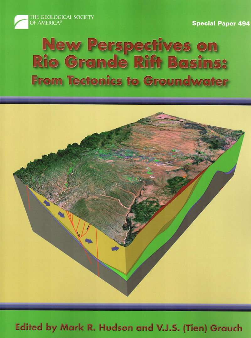
SP 494 - New Perspectives on Rio Grande Rift Basins: From Tectonics to Groundwater
Description:
Hudson, M. R. and Grauch, V. J. S. (Tien), Ed. / NEW PERSPECTIVES ON RIO GRANDE RIFT BASIN: FROM TECTONICS TO GROUNDWATER, GSA SP 494, Boulder, 2013, pb, 500 pages, cd (in pocket), - 1 -, $ 50
Extending from Colorado, USA, on the north to the state of Chihuahua, Mexico, on the south, the Rio Grande rift divides the Colorado Plateau on the west from the interior of the North American craton on the east. This volume focuses on the Rio Grande rift’s upper crustal basins and is organized geographically with study areas progressing from north to south. Eighteen chapters cover a variety of topics, including sedimentation history, rift basin geometries and the influence of older structure on rift basin evolution, faulting and strain transfer within and among basins, relations of magmatism to rift tectonism, and basin hydrogeology.
Contents:
1. Evolution of ancient Lake Alamosa and integration of the Rio Grande during the Pliocene and Pleistocene
2. Provenance of volcanic clasts from the Santa Fe Group, Culebra graben of the San Luis Basin, Colorado: A guide to tectonic evolution
3. Late Miocene–Pleistocene evolution of a Rio Grande rift subbasin, Sunshine Valley–Costilla Plain, San Luis Basin, New Mexico and Colorado
4. Geophysical constraints on Rio Grande rift structure in the central San Luis Basin, Colorado and New Mexico
5. Syndepositional deformation and provenance of Oligocene to Lower Miocene sedimentary rocks along the western margin of the Rio Grande rift, Jemez Mountains, New Mexico
6. Deformational and erosional history for the Abiquiu and contiguous area, north-central New Mexico: Implications for formation of the Abiquiu embayment and a discussion of new geochronological and geochemical analysis
7. Three-dimensional finite-element modeling of fault interactions in rift-scale normal fault systems: Implications for the late Cenozoic Rio Grande rift of north-central New Mexico
8. Structure and tectonic evolution of the eastern Española Basin, Rio Grande rift, north-central New Mexico
9. Chronology of volcanism, tectonics, and sedimentation near the western boundary fault of the Española Basin, Rio Grande rift, New Mexico
10. Multi-stage Laramide deformation in the area of the southern Santa Fe embayment (Rio Grande rift), north-central New Mexico
11. Shallow groundwater geochemistry in the Española Basin, Rio Grande rift, New Mexico: Evidence for structural control of a deep thermal source
12. Upper Neogene tephrochronologic correlations of the Española Basin and Jemez Mountains volcanic field, northern Rio Grande rift, north-central New Mexico
13. Geophysical constraints on Rio Grande rift structure and stratigraphy from magnetotelluric models and borehole resistivity logs, northern New Mexico
14. Oblique transfer of extensional strain between basins of the middle Rio Grande rift, New Mexico: Fault kinematic and paleostress constraints
15. Climatic controls on nonmarine depositional sequences in the Albuquerque Basin, Rio Grande rift, north-central New Mexico
16. New perspectives on the geometry of the Albuquerque Basin, Rio Grande rift, New Mexico: Insights from geophysical models of rift-fill thickness
17. Upper crustal structure of the southern Rio Grande rift: A composite record of rift and pre-rift tectonics
18. Tascotal Mesa transfer zone—An element of the Border Corridor transform system, Rio Grande rift of West Texas and adjacent Mexico
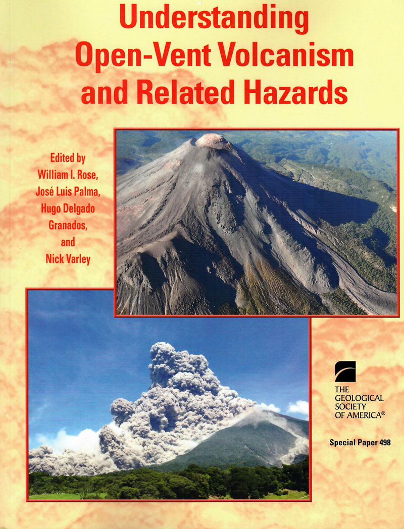
SP 498 - Understanding Open-Vent Volcanism and Related Hazards
Description:
Rose, W. I., et.al., Ed. / UNDERSTANDING OPEN-VENT VOLCANISM AND RELATED HAZARDS, GSA SP 498, Boulder, 2013, 230 pages, - 1 -, $ 10
Volcanic hazards work in developing countries is evolving and is increasingly done by scientists and engineers in home countries. At the same time, scientists in the developed world, where volcanic hazards may not be as immediate, are eager to participate in collaborative efforts, especially to highlight new tools. The lure of working at sites where there is diverse volcanic activity is strong, and collaborative science provides support for infrastructure development in home countries. Experience participating in international collaborative work during real volcanic crises is especially valuable to young scientists engaged in graduate and postdoctoral studies. This volume is the third GSA Special Paper this decade to focus on Central American volcanic hazards, and these chapters demonstrate continued maturation of international hazards work.
Contents:
1. A 50 yr eruption of a basaltic composite cone: Pacaya, Guatemala
2. Crater lake evolution at Santa Ana Volcano (El Salvador) following the 2005 eruption
3. Continuous subsidence associated with the long-lasting eruption of Arenal Volcano (Costa Rica) observed by dry-tilt stations
4. A pilot GPS study of Santa Ana Volcano (Ilamatepec) and Coatepeque caldera, El Salvador
5. Gravity and geodesy of Concepción Volcano, Nicaragua
6. An analysis of the seismic activity of Popocatépetl Volcano, Mexico, associated with the eruptive period of December 2002 to February 2003: Looking for precursors
7. Temporal changes in eruptive behavior identified with coda wave interferometry and seismo-acoustic observations at Fuego Volcano, Guatemala
8. Insights into explosion dynamics and the production of ash at Stromboli from samples collected in real-time, October 2009
9. Large-volume Barriles and Caisán debris avalanche deposits from Volcán Barú, Panama
10. Hazards related to lava tubes and caves in the Sierra Chichinautzin monogenetic volcanic field (México)
11. Estimation of tephra-fall and lahar hazards at Hudson Volcano, southern Chile: Insights from numerical models
12. Explosive volcanic history and hazard zonation maps of Boquerón Volcano (San Salvador volcanic complex, El Salvador)
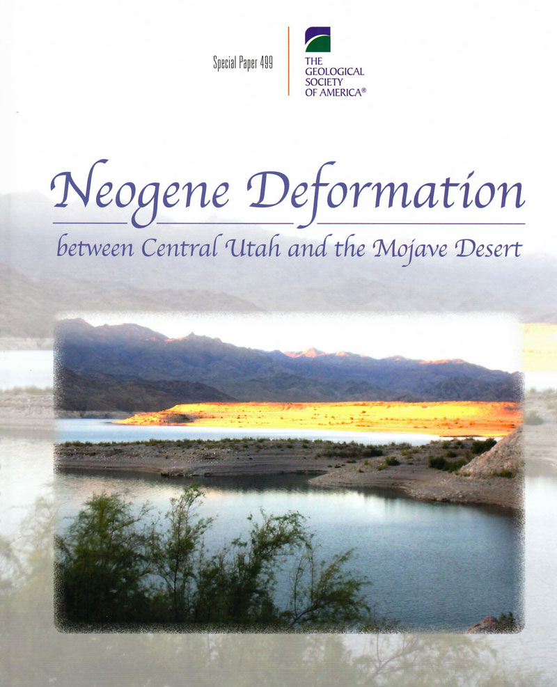
SP 499 - Understanding Open-Vent Volcanism and Related Hazards
Description:
Anderson, R. E., Ed. / NEOGENE DEFORMATION BETWEEN CENTRAL UTAH AND THE MOJAVE DESERT, GSA SP 499, Boulder, 2013, pb, 94 pages, - 1 -, $ 10
This book is a must-read for researchers interested in extensional tectonics in general and the Neogene tectonics of the Basin and Range in particular, because it challenges, on the basis of more than 50 years of field studies, the existing paradigm of province-wide uniformly large extension and replaces it with a model integrating extension with extension-normal shortening-both as primary strains. The first chapter takes the reader on two journeys southwestward from central Utah through the Lake Mead area: the first to emphasize the lack of uniformly distributed or integrated extension and the second to highlight left-lateral shear at 13 localities along the east margin of the Basin and Range that is kinematically compatible with right-lateral shear along the west margin. The compatibility provides a basis for understanding the extreme Neogene tectonics of the Lake Mead area. The second chapter summarizes multifaceted field evidence from the well-studied eastern Lake Mead area as a focused example of the need for a complete revision of the extensional paradigm.
Contents:
1. Analysis of Neogene deformation between Beaver, Utah, and Barstow, California: Suggestions for altering the extensional paradigm
2. On the importance of non-uniform tilt, strike slip, and hydrogeology in shaping the Neogene tectonics of the eastern Lake Mead area
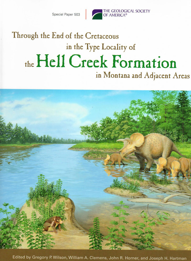
SP 503 - Through the end of the Cretaceous in the type locality of the Hell Creek Formation in Montana and adjacent areas
Description:
Wilson, G. P., et.al., Ed. / THROUGH THE END OF THE CRETACEOUS IN THE TYPE LOCALITY OF THE HELL CREEK FORMATION IN MONTANA AND ADJACENT AREAS, GSA SP 503, Boulder, pb, 392 pages, - 1 -, $ 15
For over a century, the Hell Creek and Fort Union formations and their constituent fossil biotas have captivated geologists and paleontologists alike. In Montana and adjacent areas, these rocks have become renowned as the type locality for Tyrannosaurus rex and the epicenter for debate surrounding the mass extinction of dinosaurs at the Cretaceous-Paleogene boundary. The chapters in this volume represent a surge of field and laboratory research activity that illustrates the impacts of new and refined methods and tools. In tandem, the research questions have evolved to take advantage of the increased precision, quality, and quantity of the data, from determinations of paleoecologies to assessment of ontogenetic sequences, patterns of sedimentation, and basin-level intraformational correlations. Together, the chapters in this volume are a major step forward in the quest to mine the rich lode of geologic and biologic history preserved in the strata bounding the Cretaceous-Paleogene boundary.
Contents:
1. From Tyrannosaurus rex to asteroid impact: Early studies (1901–1980) of the Hell Creek Formation in its type area
2. Context, naming, and formal designation of the Cretaceous Hell Creek Formation lectostratotype, Garfield County, Montana
3. Assessing the relationships of the Hell Creek–Fort Union contact, Cretaceous-Paleogene boundary, and Chicxulub impact ejecta horizon at the Hell Creek Formation lectostratotype, Montana
4. Magnetostratigraphy of the Hell Creek and lower Fort Union Formations in northeastern Montana
5. Carbon isotope stratigraphy and correlation of plant megafossil localities in the Hell Creek Formation of eastern Montana
6. A florule from the base of the Hell Creek Formation in the type area of eastern Montana: Implications for vegetation and climate
8. Euselachians from the freshwater deposits of the Hell Creek Formation of Montana

SP 505 - Volcanism, Impacts, and Mass Extinctions: Causes & Effects
Description:
Keller, G. and Kerr, A. C. / VOLCANISM, IMPACTS, AND MASS EXTINCTIONS: CAUSES & EFFECTS, GSA SP 505, pb, 2014, 455 pages, - 1 -, $ 30
This volume comprises articles stemming from the international, multi-disciplinary conference that took place in March 2013 at London's Natural History Museum (NHM). This conference brought together researchers across geological, geophysical, and biological disciplines to assess the state of research into the causes of mass extinction events and, in particular, to evaluate the respective roles of volcanism, bolide impacts, and associated climate and environmental changes. Key results of this seminal conference are presented in papers spanning a wide range of disciplines. Participants concluded that large igneous province volcanism along with associated climate and environmental changes played significant roles in four of the five major mass extinctions in Earth history. There was overwhelming agreement that a single large asteroid or comet impact (Chicxulub) could not have been the sole cause of the end-Cretaceous mass extinction, but rather was a contributing factor along with volcanism.
Contents:
Mass Extinctions, Volcanism, and Impacts
1. The geological extinction record: History, data, biases, and testing
2. Large igneous provinces and mass extinctions: An update
3. Deccan volcanism, the Chicxulub impact, and the end-Cretaceous mass extinction: Coincidence? Cause and effect?
4. Effects of Deccan volcanism on paleoenvironment and planktic foraminifera: A global survey
5. Plants and floral change at the Cretaceous-Paleogene boundary: Three decades on
6. The early Danian hyperthermal event at Boltysh (Ukraine): Relation to Cretaceous-Paleogene boundary events
7. Plant macrofossils from Boltysh crater provide a window into early Cenozoic vegetation
8. Deccan volcanic eruptions and their impact on flora: Palynological evidence
9. Vertebrate fauna from the Deccan volcanic province: Response to volcanic activity
10. What the dinosaur record says about extinction scenarios
11. The Pliensbachian–Toarcian (Early Jurassic) extinction: A North American perspective
12. Volcanism of the Central Atlantic magmatic province as the trigger of environmental and biotic changes around the Triassic-Jurassic boundary
13. Climatic reversals related to the Central Atlantic magmatic province caused
the end-Triassic biotic crisis—Evidence from continental strata in Poland
14. An earth system approach to understanding the end-Ordovician (Hirnantian) mass extinction
Volcanism and Environmental Effects
15. A review of the embedded time scales of flood basalt volcanism with special emphasis on dramatically short magmatic pulses
16. Emplacement characteristics, time scales, and volcanic gas release rates of continental flood basalt eruptions on Earth
17. Modeling the carbon-sulfate interplays in climate changes related to the emplacement of continental flood basalts
Mickaël Mussard, Guillaume Le Hir, Frédéric Fluteau, Vincent Lefebvre, and Yves Goddéris
18. Atmospheric halogen and acid rains during the main phase of Deccan eruptions: Magnetic and mineral evidence
Impacts and Environmental Effects
19. Impact volcanism and mass extinctions
20. The role of giant comets in mass extinctions
21. Implications of the centaurs, Neptune-crossers, and Edgeworth-Kuiper belt for terrestrial catastrophism
22. Calendar-year dating of the Greenland Ice Sheet Project 2 (GISP2) ice core from the early sixth century using historical, ion, and particulate data
23. What caused terrestrial dust loading and climate downturns between A.D. 533 and 540?
24. The public impact of impacts: How the media play in the mass extinction debates
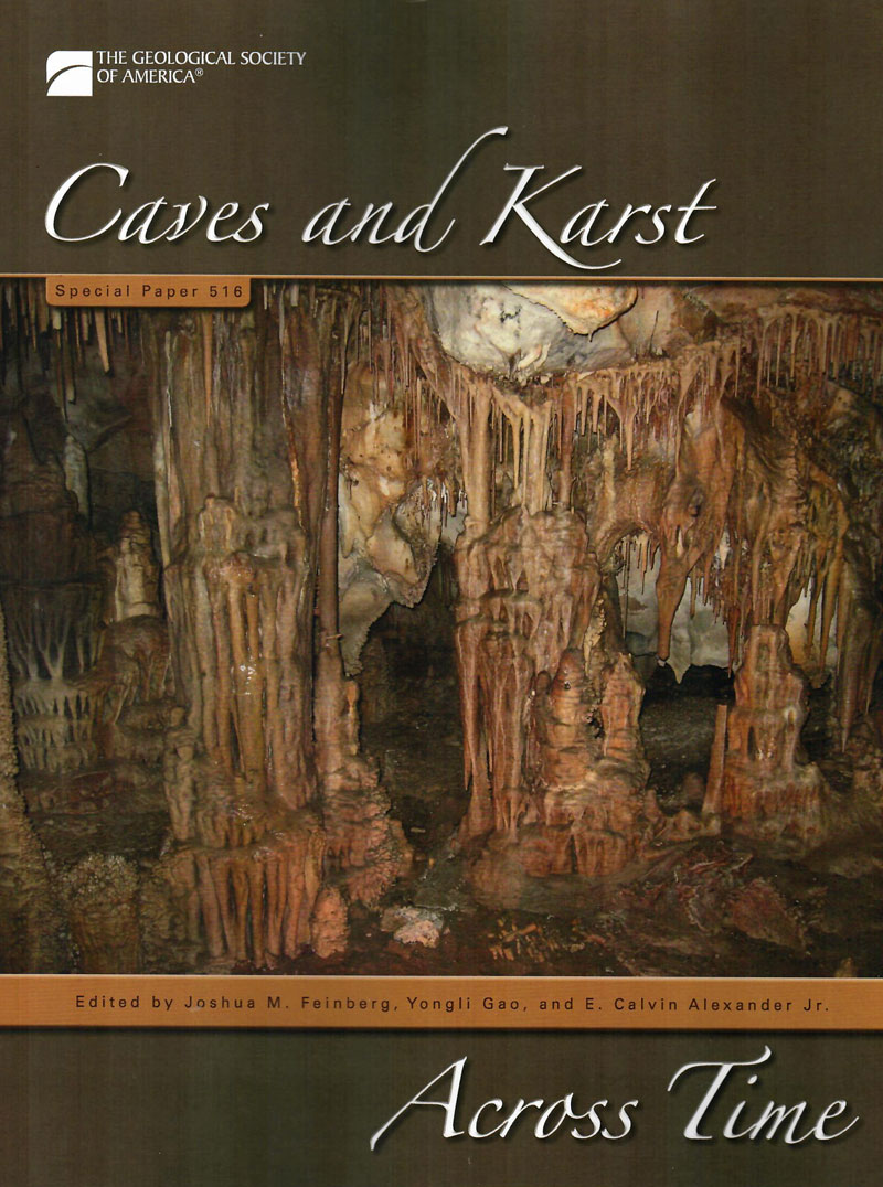
SP 516 - Caves and Karst Across Time
Description:
Feinberg, J. M., Gao, Y., and Alexander, E. C. / CAVES AND KARST ACROSS TIME, GSA SP 516, Boulder, 2016, pb, 300 pages, - 1 -, $ 25
Appreciation, knowledge, and understanding of cave and karst systems have evolved dramatically since the creation of the Geological Society of America in 1888. Caves are now widely recognized as important geological features and karst as a distinctive and significant geologic system that covers about 20% of the planet's land surface. Karst aquifers are the world's most productive yet vulnerable groundwater systems, serving as the sole or primary water supply for more than one billion people worldwide. Karst systems have evolved dynamically across time, reflecting changes in climate and regional tectonism, and the subsequent crustal scale hydrologic responses invoked by these processes. We are now aware of the complexity of groundwater flow within karst and epikarst systems, and are striving to link our understanding of such heterogeneous flow processes to contamination studies and hazard assessment. This Special Paper highlights the changes in the study and application of cave and karst systems since GSA's origin, while looking ahead to future advancements.
Contents:
HISTORICAL PERSPECTIVES ON CAVES AND KARST RESEARCH
1. The science of caves and karst: From the beginning of the Geological Society of America to 1960
2. Science of caves and karst: A half century of progress
3. Karst mapping in the United States: Past, present, and future
4. Historical review and forward view of cave and karst research in Texas
FORMATIONAL PROCESSES IN
CAVE AND KARST ENVIRONMENTS
5. Morphometric analysis of cave patterns using fractal indices
6. Geologic history of the Black Hills caves, South Dakota
7. Depth and timing of calcite spar and “spar cave” genesis: Implications for landscape evolution studies
THE HYDROGEOLOGY OF KARST AND EPIKARST
8. The importance of advection for CO2 dynamics in the karst critical zone: An approach from dimensional analysis
9. Initial pipe development within epikarst microfractures
10. On the efficacy of monitoring wells in karstic carbonate aquifers
11. Assessing structural control on groundwater flow in the Morrell Cave springshed, Sullivan County, Tennessee
12. Geochemistry of cave pools connected to an alpine epikarst—Timpanogos Cave National Monument, Utah
13. Analysis of hydrologic and geochemical time-series data at James Cave, Virginia: Implications for epikarst influence on recharge in Appalachian karst aquifers
BIOLOGICAL AND ARCHAEOLOGICAL INTERACTIONS WITH CAVES AND KARST
14. Caves, hills, and caches: The importance of karst landscapes for the Prehispanic and contemporary Maya
15. Microclimate and niche constructionism in tropical bat caves: A case study from Mount Elgon, Kenya
PRESERVED WITHIN CAVES AND KARST
16. High-resolution rainfall records for middle and late Holocene based on speleothem annual UV fluorescent layers integrated with stable isotopes and U/Th dating, Raccoon Mountain Cave, Tennessee
17. Middle Pleistocene glacial outwash in poljes of the Dinaric karst
18. Long-distance sediment transport and episodic resedimentation of Pennsylvanian dust (eolian silt) in cave passages of the Mississippian Leadville Limestone, southwestern Colorado
19. Paleomagnetic constraints on the Atapuerca karst development (N Spain)

SP 518 - Large Meteorite Impacts and Planetary Evolution
Description:
Osinki, G. R. and Kring, D. A. / LARGE METEORITE IMPACTS AND PLANETARY EVOLUTION V, GSA SP 518, Boulder, 2015, pb, 227 pages, - 1 -, $ 20
Impact cratering is one of the most fundamental geological processes. On many planets, impact craters are the dominant geological landform. On Earth, erosion, plate tectonics, and volcanic resurfacing continually destroy the impact cratering record, but even here, the geological, biological, and environmental effects of impact cratering are apparent. Impact events are destructive and have been linked to at least one of the "big five" mass extinctions over the past 540 Ma. Intriguingly, impact craters can also have beneficial effects. Many impact craters are associated with economic metalliferous ore deposits and hydrocarbon reservoirs. This Special Paper provides an up-to-date synthesis of impact cratering processes; the role of meteorite impacts in the origin of life, products, and effects; and the techniques used to study impact craters on Earth and other planetary bodies. This volume resulted from the Large Meteorite Impacts and Planetary Evolution V conference held in Sudbury, Canada, in August 2013.
Contents:
The Role of Meteorite Impacts in the Origin of Life
Potential catalytic role of phyllosilicates in pre-biotic organic synthesis
Making Craters: From the Small to the Big
Scaling impact crater dimensions in cohesive rock by numerical modeling and laboratory experiments
Characteristics of impact craters in the northern hemisphere of Mars
Morphologic and structural mapping of the central uplift of Betio crater, Thaumasia Planum, Mars
Kinematics of large terrestrial impact crater formation inferred from structural analysis and three-dimensional block modeling of the Vredefort Dome, South Africa
Scaling of basin-sized impacts and the influence of target temperature
Products of Planetary Impacts
Petrologic and impact size controls on Precambrian spherule diameters
Zircon formation in impact melts: Complications for deciphering planetary impact histories
Microscopic effects of shock metamorphism in zircons from the Haughton impact structure, Canada
Surficial polymict impact breccia unit, Wetumpka impact structure, Alabama: Shock levels and emplacement mechanism
Nature and origin of the Garson Member of the Onaping Formation, Sudbury impact structure, Canada
Remote Sensing Methods to Study Impact Craters
Mapping terrestrial impact craters with the TanDEM-X digital elevation model
Manfred Gottwald, Thomas Fritz, Helko Breit, Birgit Schättler, and Alan Harris
Real-time crater profile analysis: Visualizing high-resolution laser altimetry data sets on the GPU
End of the newer GSA Special Papers Catalog!
Click any link to continue.
Newer GSA Memoirs
Field Guides and Reviews of Engineering Geology
Our regular stock of older GSA Publications < More Memoirs, Special Papers, and Reviews of Engineering Geology can be found in this catalog
GSA DNAG (Decade of North American Geology) Publications
Home Page
Catalogs on this Website
Mineral Specimens
Mineralogy Books
Select Mineral Books
Rock, Gem, and Mineral Books
Geology Books
U.S. State Geology
USGS Publications